Project Experience
I am passionate about exploring various robotic platforms and concepts, continually seeking to develop intriguing projects that align with my interests and aspirations. Through hands-on experience and a creative problem-solving mindset, I aim to make meaningful contributions that benefit society.
-
-
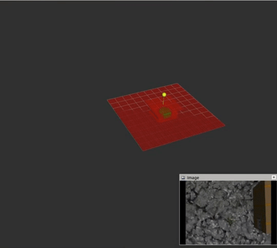 Simulation
-
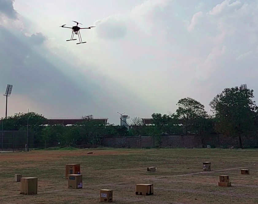
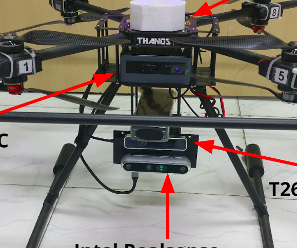
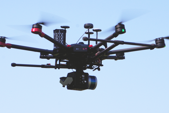
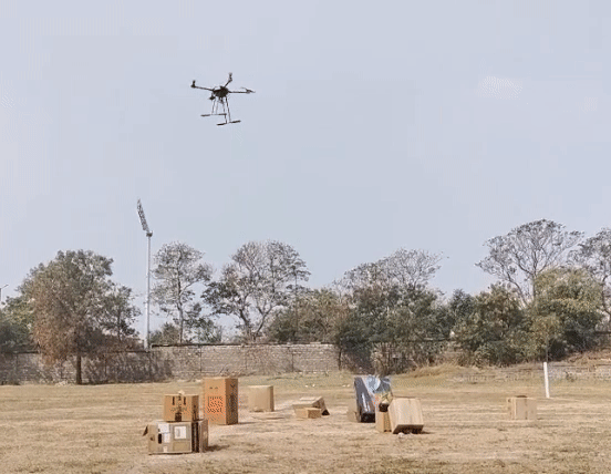 Hardware
-
-
-
 VIO_Mapping_and_Localization
-
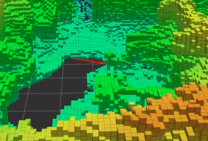
 Lidar_Mapping_and_Localization
-

-
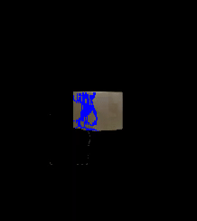 PuSHR_Perception
-
-
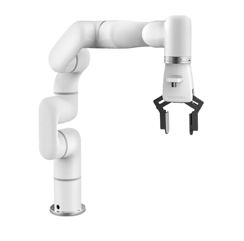
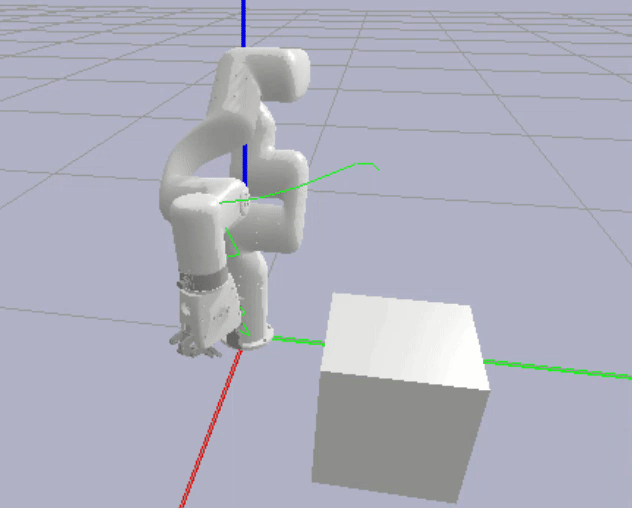 xArm_Planning_and_Avoidance
-
-
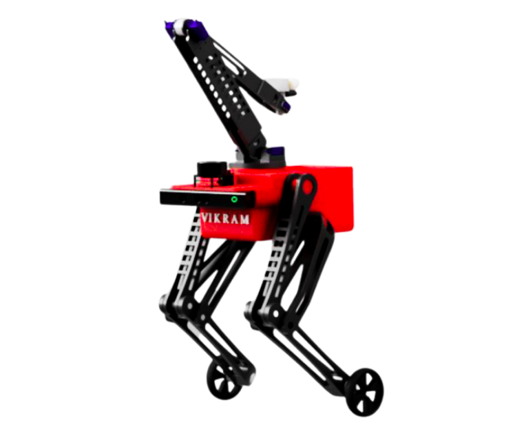
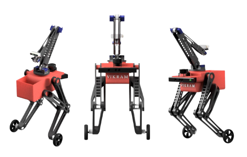 VIKRAM_Playlist
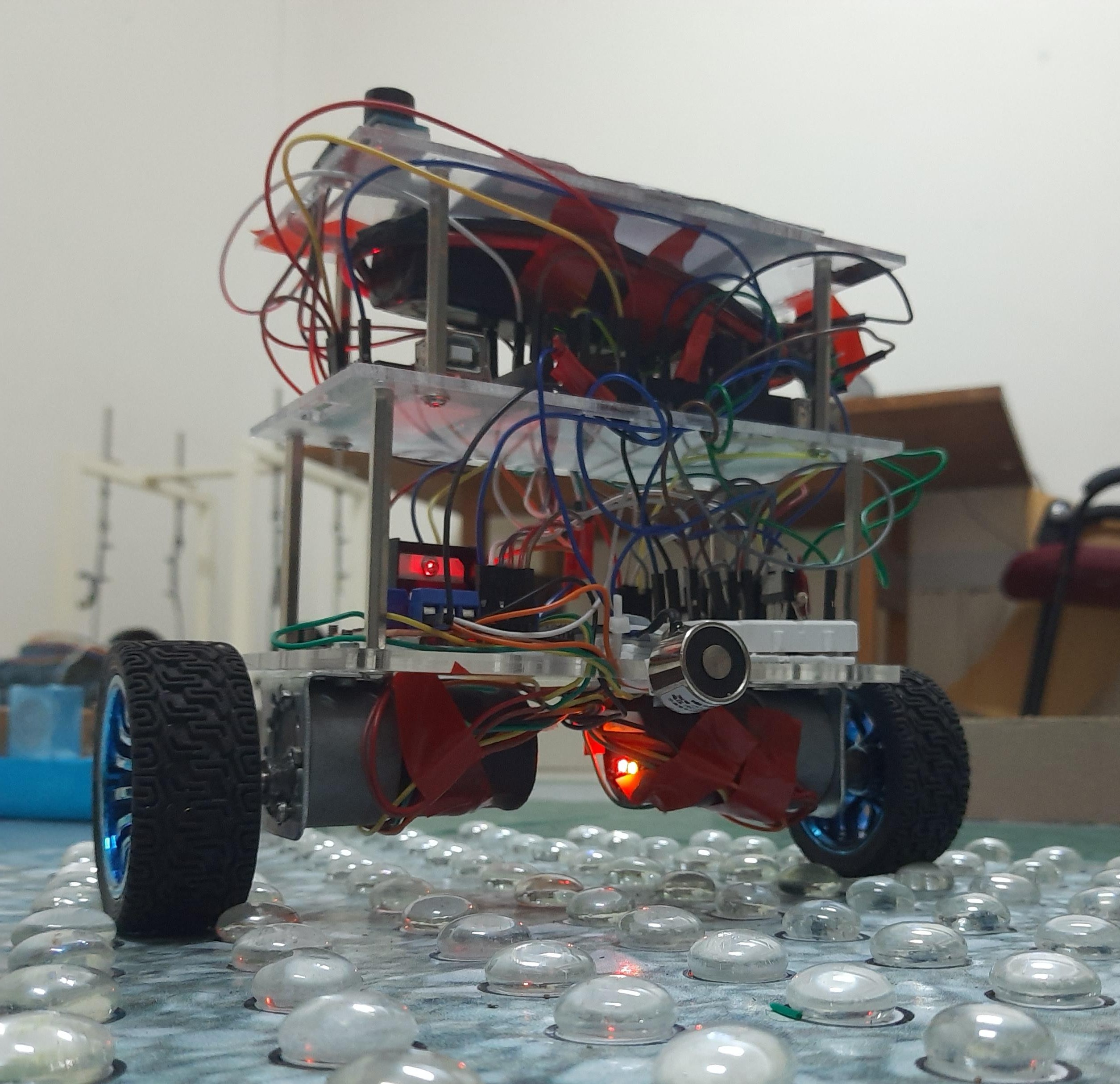
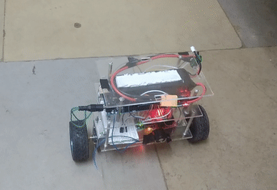
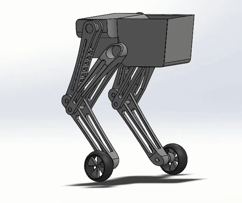 Vikram_Design
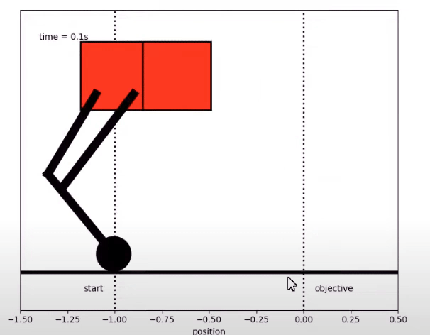 Vikram_Control
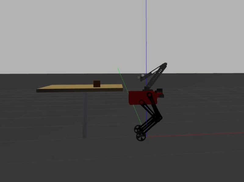 Vikram_Manipulation
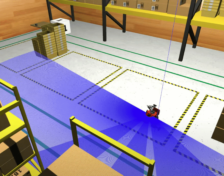 Vikram_Navigation
-
-
 e_Yantra_Competition
 Positon_Hold
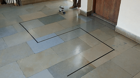 Follow_Line
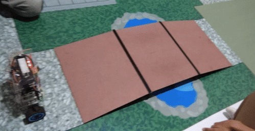 Traverse_Bridges
-
-
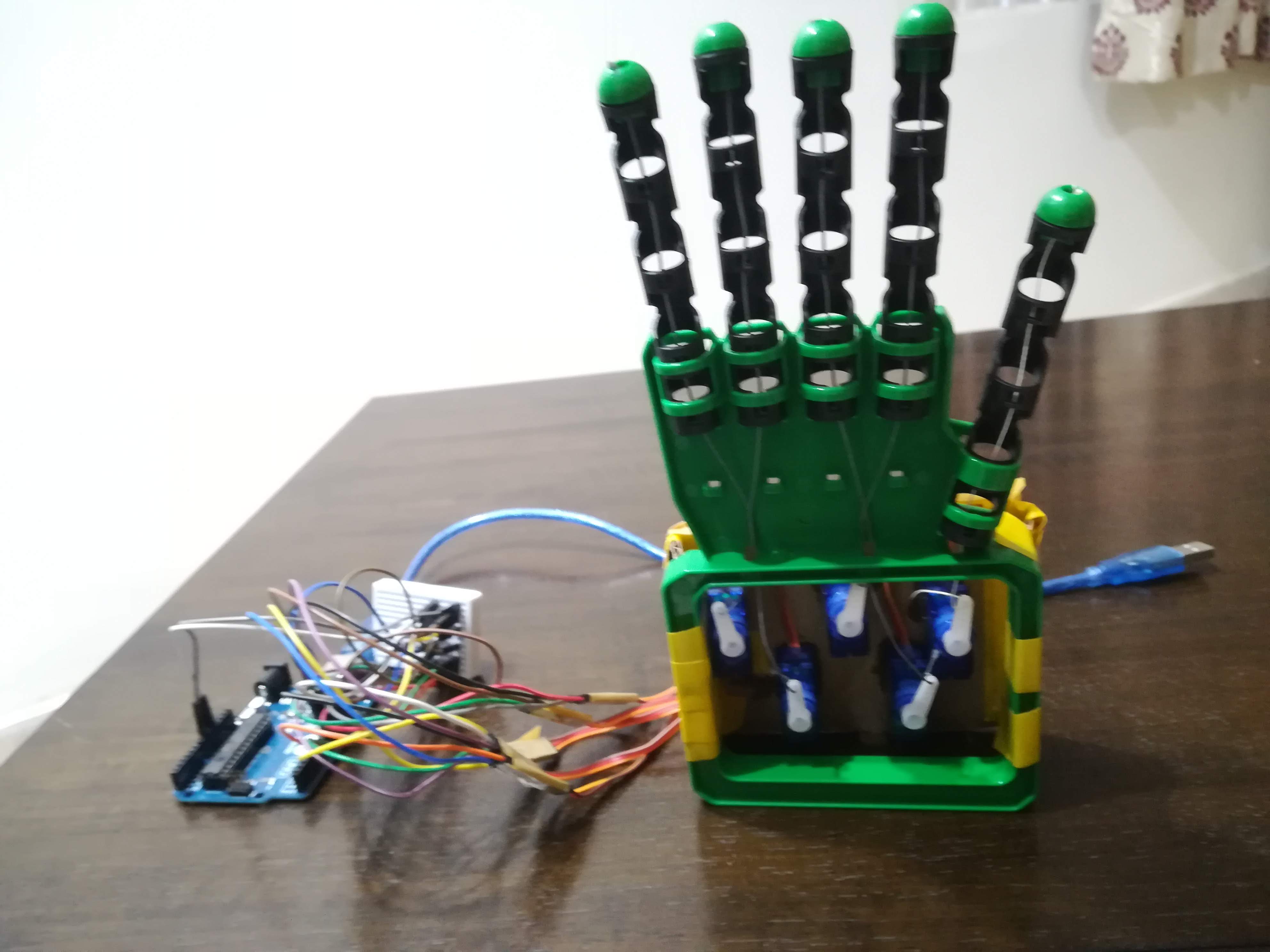
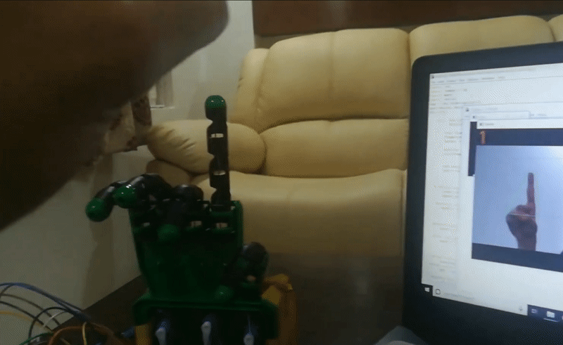 Robotic_Arm_Imitation
-
-
-
-
-
-