Course Projects and Experience
University of Michigan : Master of Science in Robotics - Ann, Arbor, USA
Courses : Mathematics for Robotics, Robotics Systems Lab, Mobile Robotics, Computer Vision, Robot Algorithms, Robot Manipulation.
BMS College of Engineering : Bachelor of Engineering in Electrical and Electronics - Bengaluru, India
Courses : Computer Vision, Machine Learning, Linear Algebra, Control Systems, Digital Signal Processing, Circuit Analysis
-

-
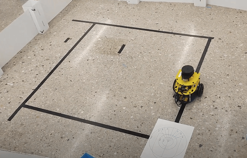
 Mapping_Recording
-
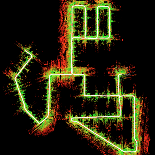
 SLAM_Recording
-
 A-star_Planner
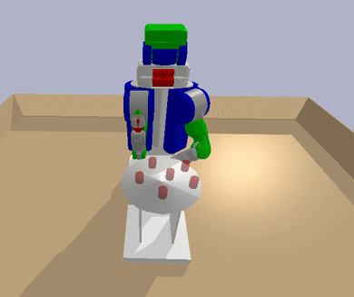 RRT_Planner
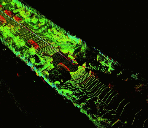
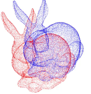 Point_Cloud_Registration
-
-
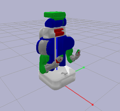
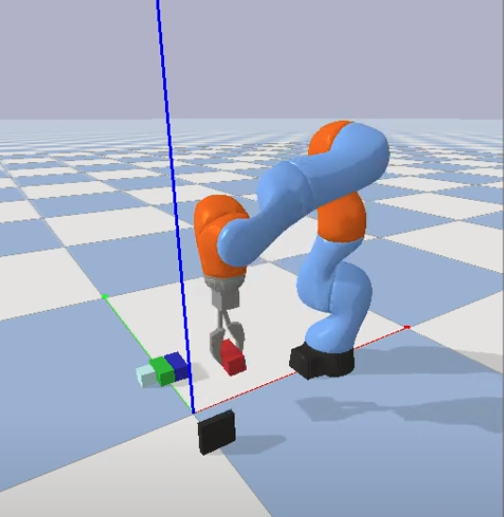
 Autonomous_Manipulation
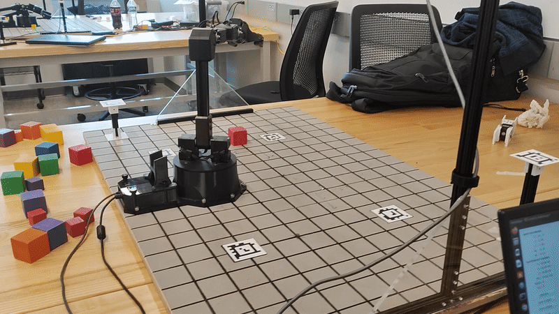 Kinematics
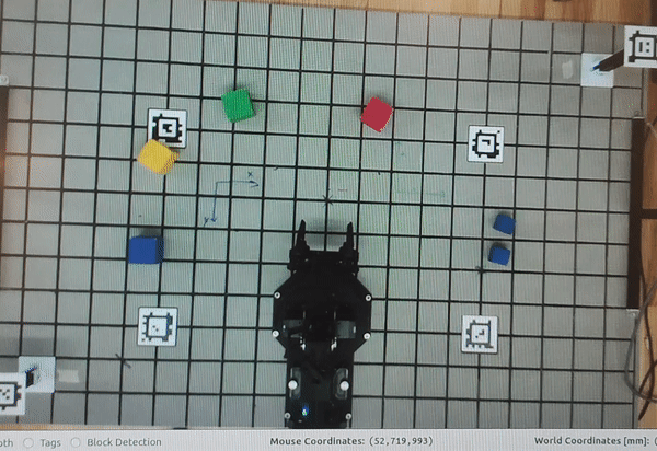 Vision
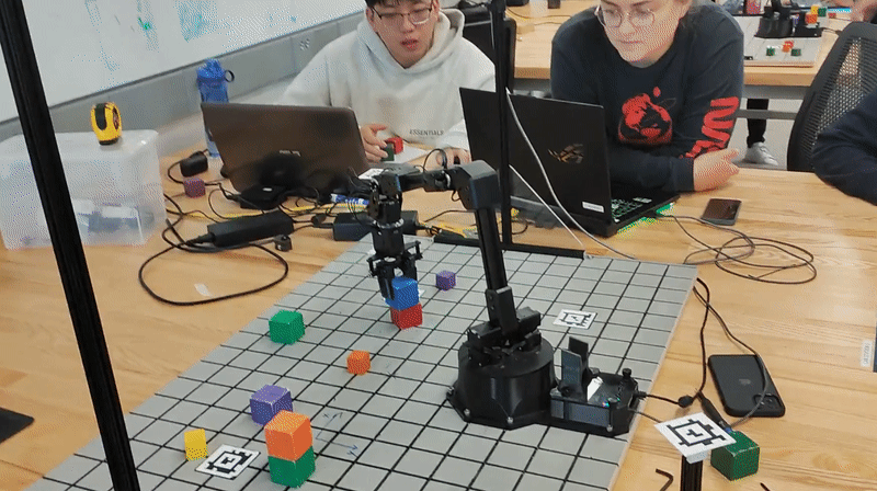 Stacking
-
-
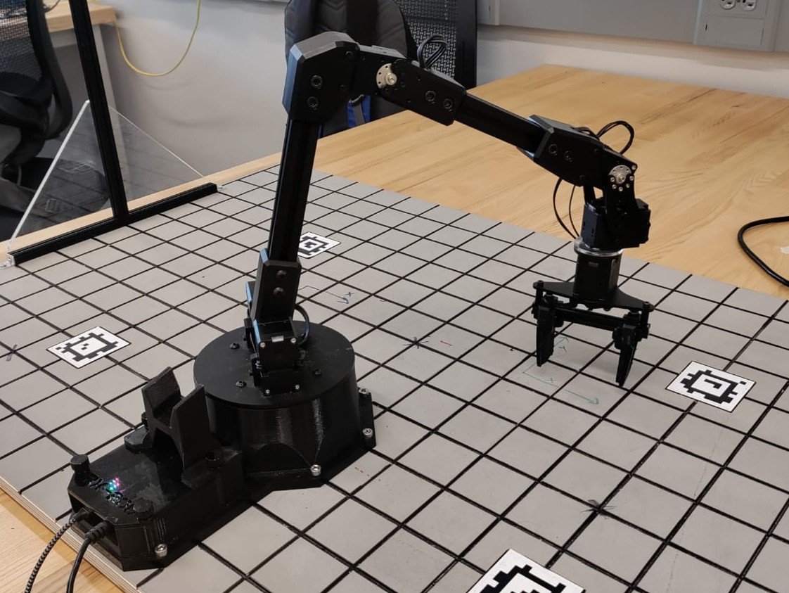
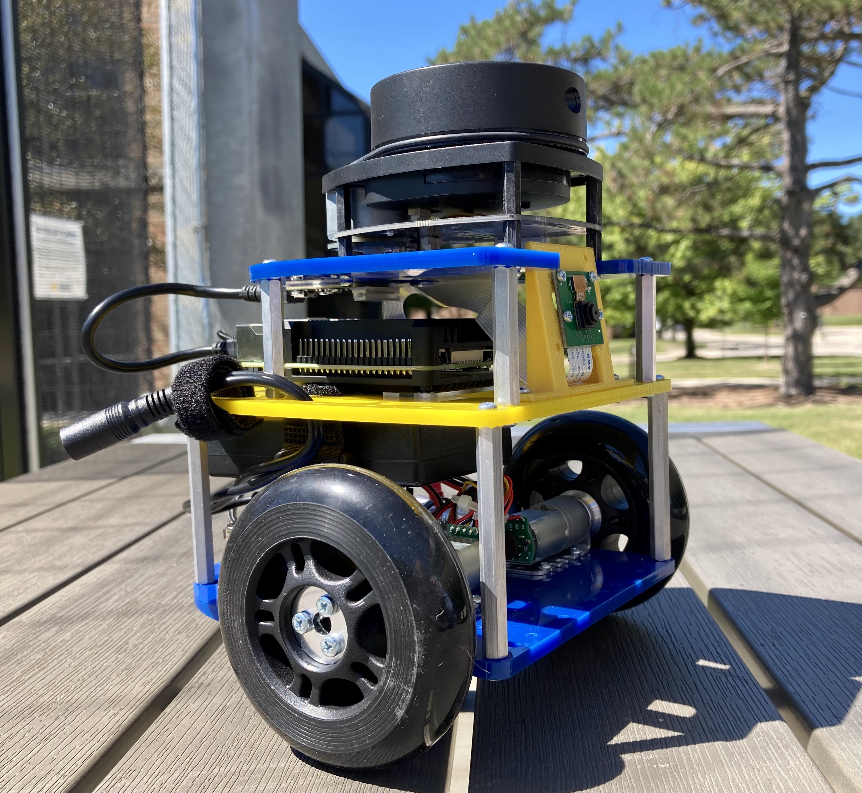
 Autonomous_Navigation
-
-
 Presentation
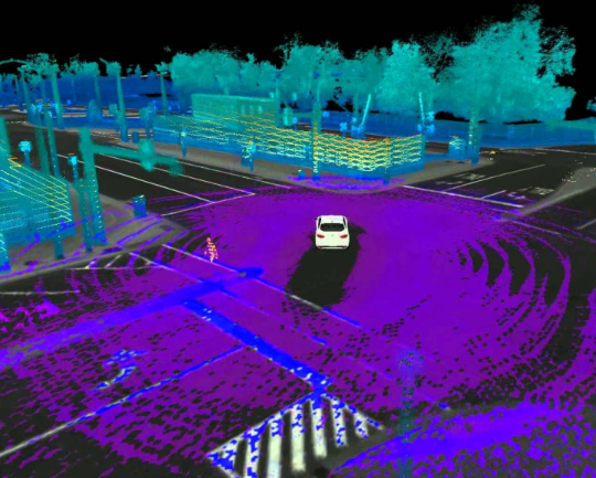
 Liosam_Pointcloud_Detection
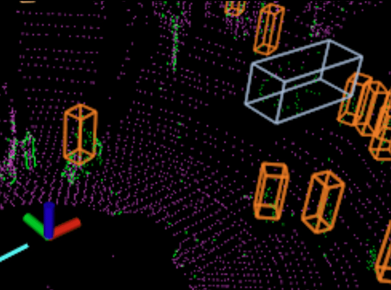 Dynamic_Feature_Removal
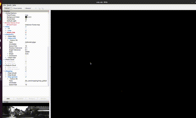 Masked_Liosam_Birdeye
-
-
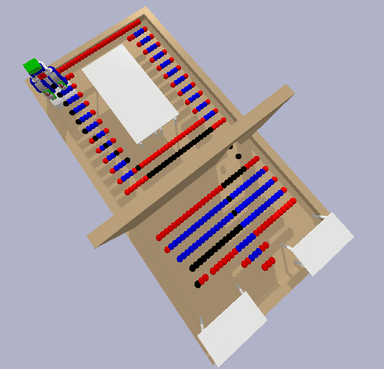
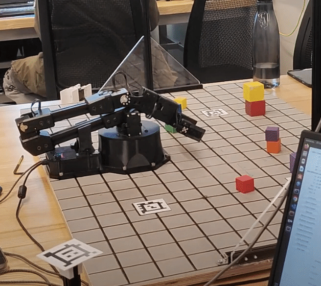
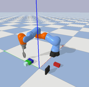 Push_and_Grasp_Manipulator
-
-
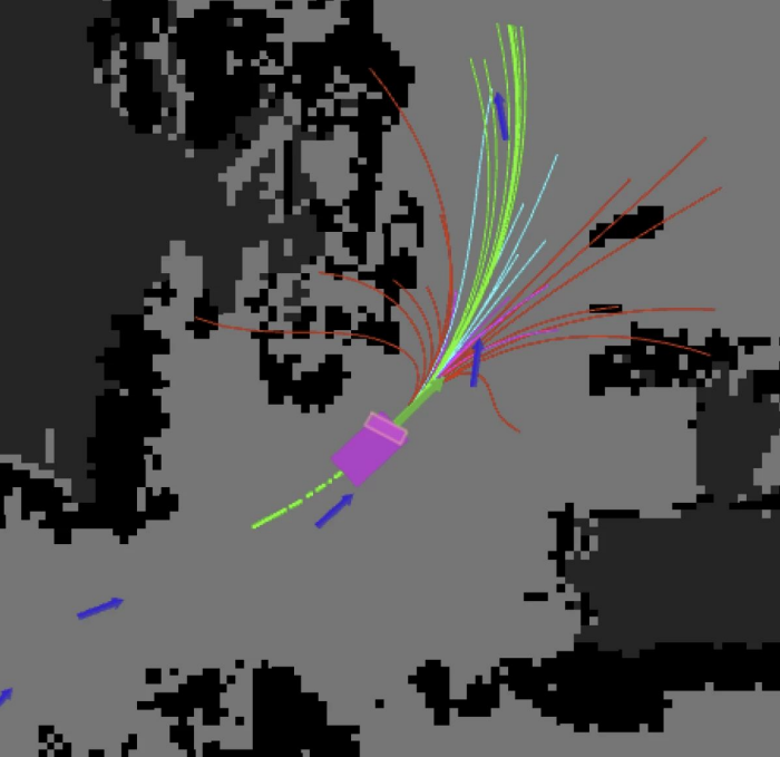
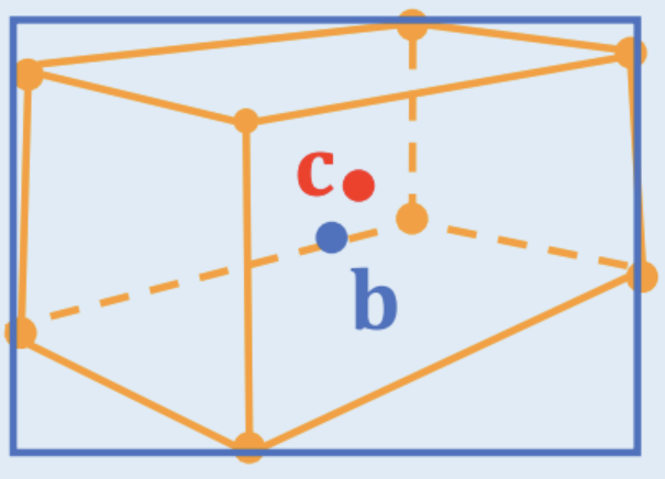
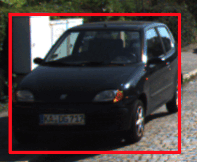 2D_to_3D_Estimation
-
-
-
-
-
-